Day 5: April 9th 2014: Exploring the landscape
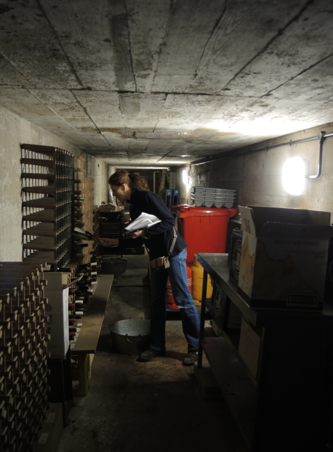
 Today I decided to explore the landscape around Lager Wick while Peter did the resistivity survey of the camp. I visited the Maltieres quarry, where some of the men from the camp worked. I also went to Fort William and Fort Henry, two 18th century forts nearby which have additions dating to the German occupation. I also went up to the Royal Jersey Golf Club and managed to persuade the kind people there to let me into their back garden. There I found the air raid shelter of Lager Franco, the camp where the men of Lager Wick were housed before being moved to Wick in 1942. The shelter was fairly large. It is estimated that Lager Wick held 200 men, and I think they could just about have been squeezed into the space, without much thought given to their comfort. Apparently, Lager Franco was the only labour camp with its own shelter in Jersey. Today, the golf club use the shelter as their wine cellar, so today’s photo is of me inspecting a bottle of plonk in there! I also got permission for the team to return to Fort Henry (on golf club land) tomorrow for an excavation field trip, which will include a trip to the bunkers on the beach below.
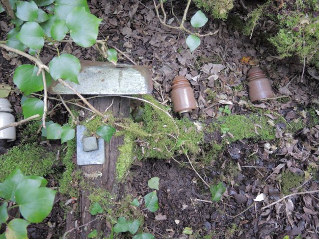
Tomorrow we will also be joined by TV cameras from Channel TV, who want to see what we’ve been getting up to. I think that the entrance posts of the camp make an evocative image, but hopefully we will have even more to show people in due course. We were visited by the Jersey Evening Post today, so I hope to be able to post their article soon.
This evening, Professor Marek Jasinski from NTNU in Trondheim, Norway, arrived in Jersey. I’ve invited him to join the team because he has experience of researching and excavating WWII Organisation Todt camps in Norway and he’s a pal of mine. I’m really looking forward to showing him the site tomorrow. Welcome to the dig, Marek!

Recent Comments